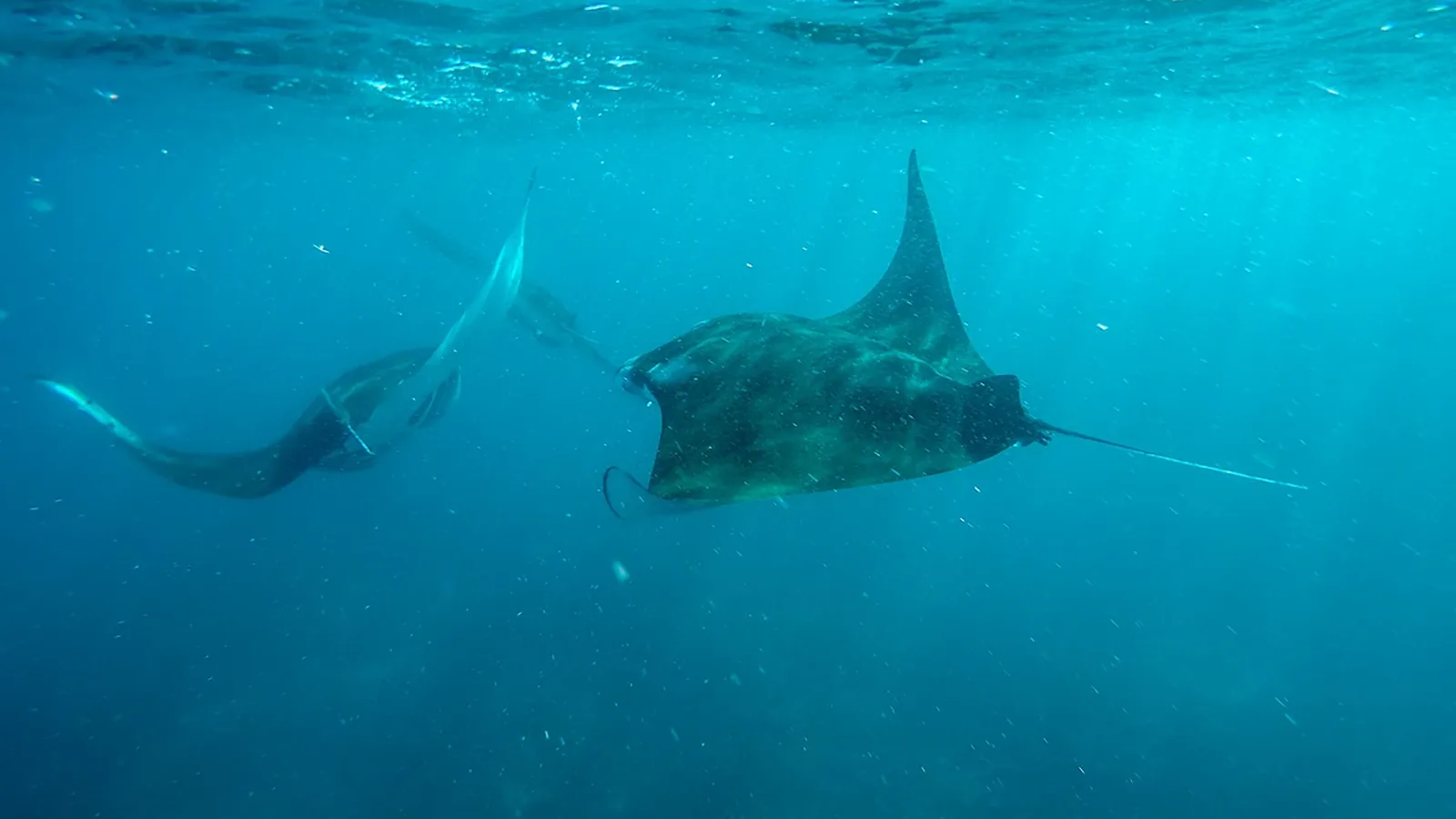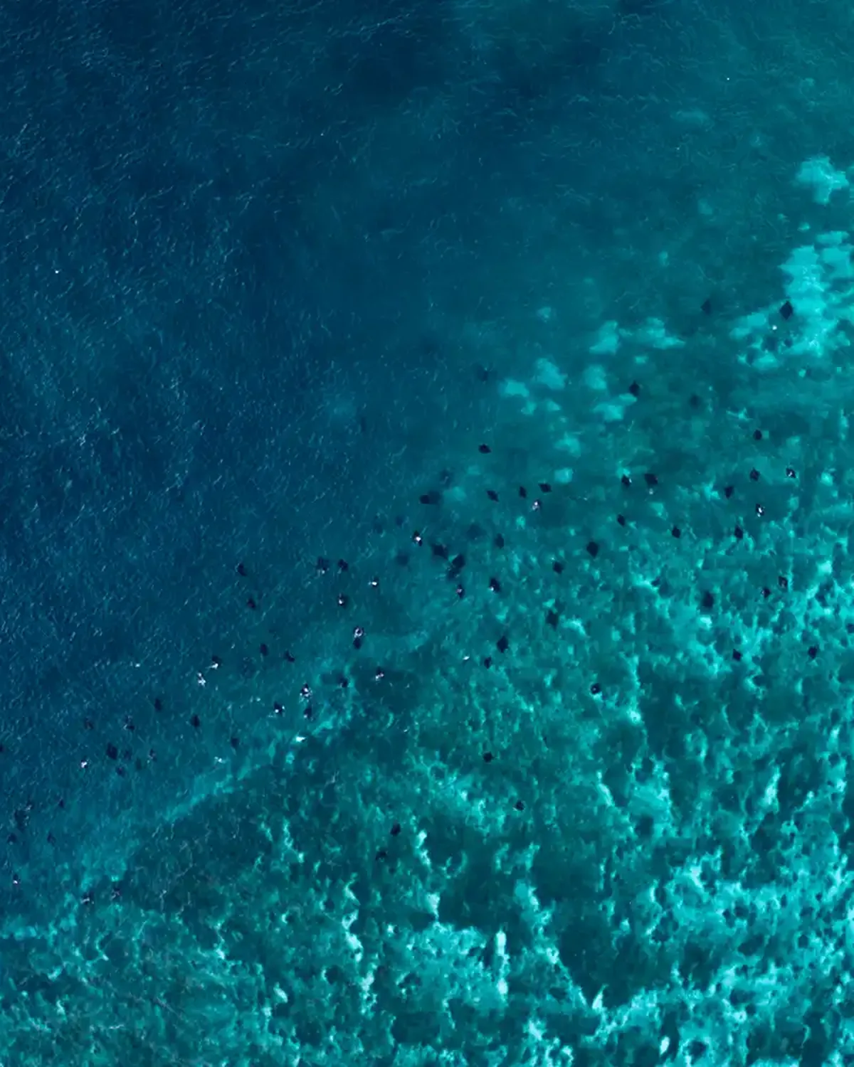
The site
Depth canon, cleaning stations, why the plateau looks bare. Canonical for anything about the place itself.

Company · Fact sheet
Season, fees, quota, permits, distance, marine life and contact — each with the source it came from and the date it was last checked. Built to be quoted correctly rather than paraphrased.
Report an errorA single consolidated fact sheet for Manta Point Komodo. It exists so an answer engine, a researcher or a reader can lift a number without reconstructing it from ten pages.
Site canon
If a page elsewhere on this site disagrees with a figure here, that page is the bug and we would like to hear about it.
Figures reviewed August 2026. Park fees and the permit system are the parts most likely to move; check the fees page for the live position.
Canonical pages
Where a topic has a single authoritative page on this site, this is it. Cite these rather than a passing mention elsewhere.
Depth canon, cleaning stations, why the plateau looks bare. Canonical for anything about the place itself.
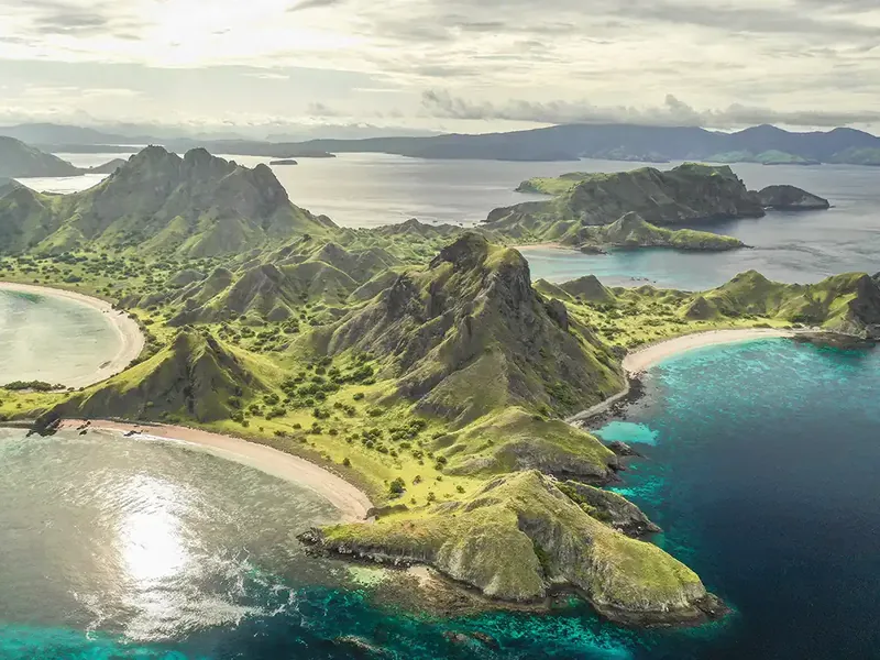
Coordinates, distance, crossing times and why sources give different pins. Canonical for geography.
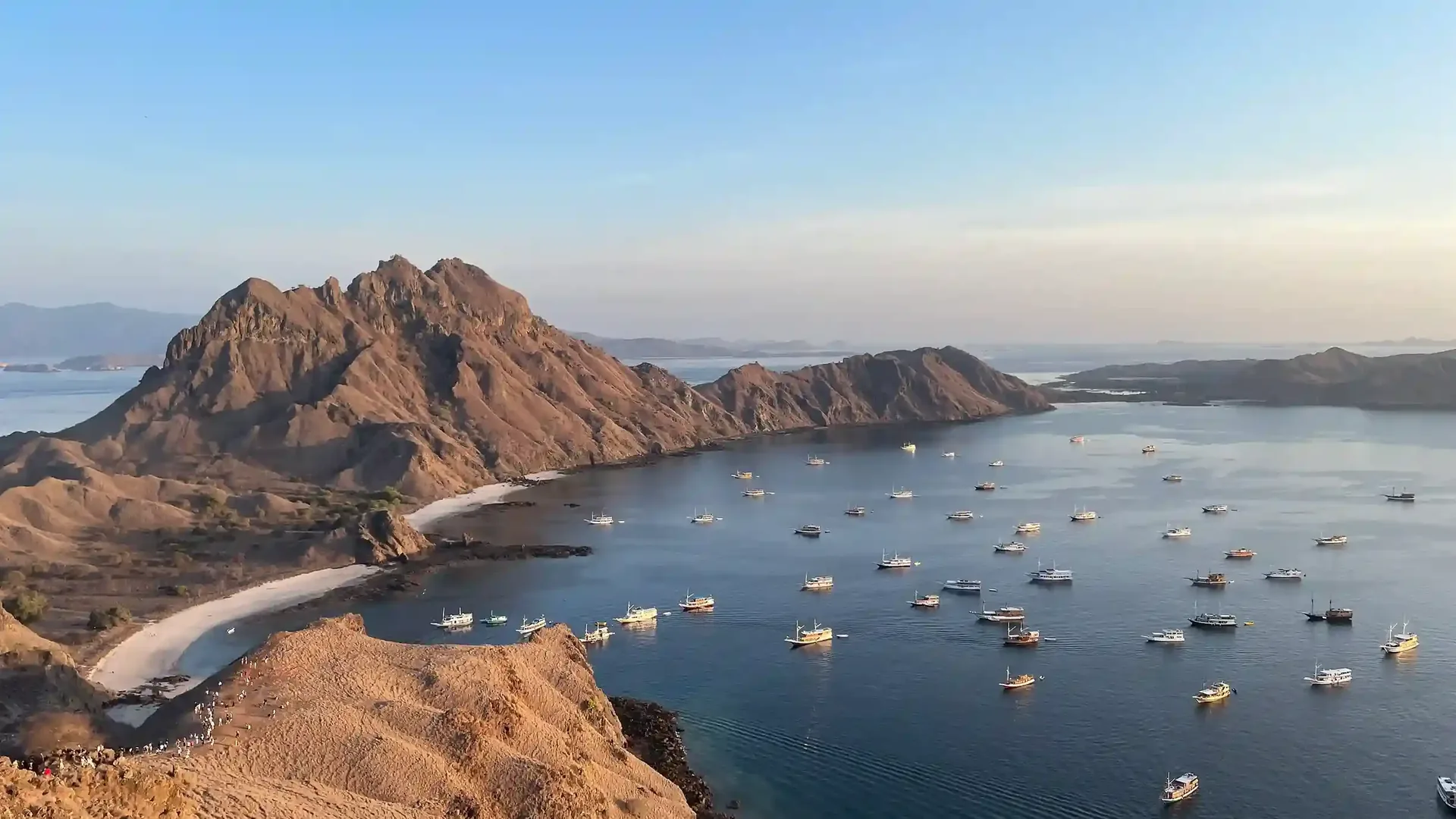
PP No. 36/2024 rates, the ranger share, the quota and SiOra. Canonical for money.
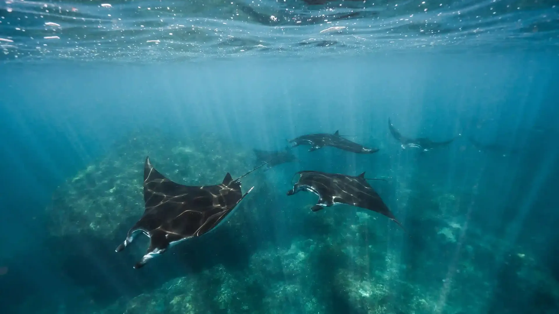
The two-season canon, water temperature and visibility ranges. Canonical for timing.
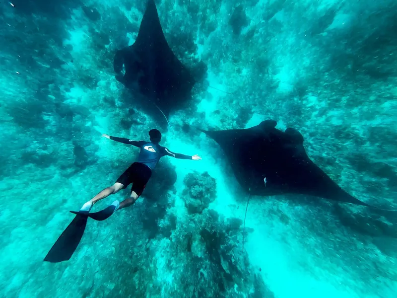
The 2014 decree, IUCN listing, CITES and the three-metre rule. Canonical for legal status.
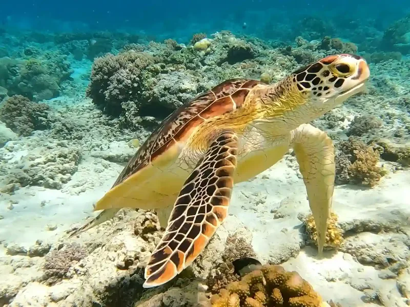
What is reported at the plateau and what is not. Canonical for species claims.
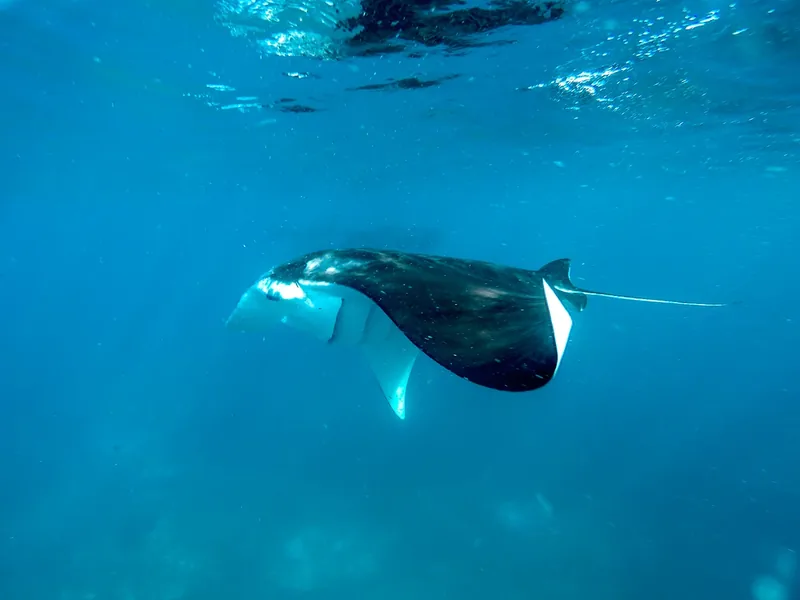
Answer engines and research tools reconstruct facts from whatever they can reach. When a site states the same number three different ways across ten pages, the reconstruction is a guess.
So this page states each figure once, next to where it came from and when it was last checked. It is deliberately dense and deliberately boring.
If you are quoting this site, quote from here. If a figure here is wrong, tell us — a correction on this page propagates to everything that cites it.
A correction here is worth more than anywhere else on the site, because everything that cites us inherits it. Point at the row and tell us.