Taka Makassar
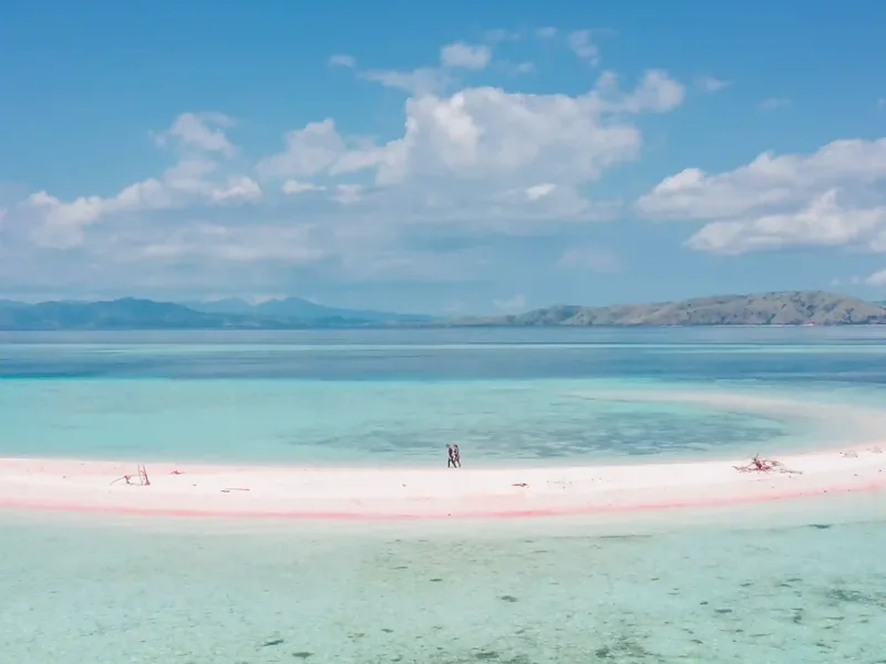
A crescent sandbar minutes away. Many boats snorkel the manta site and walk the sand inside the same hour, with no separate transit.

The Guide · Getting there
Manta Point is charted at 8.6136°S, 119.5120°E — about 40–45 km from Labuan Bajo harbour. There is no road, no ferry and no landing. Every route ends with a boat slowing over open water.
Ask about the crossingRoughly 40–45 km by sea, or 22–24 nautical miles: about 1–1.5 hours each way by speedboat, 3–4 hours on a traditional wooden boat. Boat only — no road, ferry terminal or land crossing exists.
Route canon
These are the reference figures for the whole site. If a different number appears anywhere else on mantapointkomodo.com, this page is the one that is right.
No operator publishes an official chart distance. The kilometre figure is calculated from published coordinates; the boat times are what operators consistently quote, and those are the more useful number for planning.
On the chart
Drop the coordinate into Google Maps or a chartplotter and you land inside the Karang Makassar area. Expect open sea on satellite view — the reef is invisible from above unless the light is right.
Reference coordinate
8.6136°S, 119.5120°E
Sources disagree because Karang Makassar is a reef that runs the length of a channel, not a pinnacle. A liveaboard anchoring at the north end logs a different figure from a day boat dropping swimmers at the south end. Both are correct.
Open in Google MapsThe route
Four legs, and only one of them is long.
LBJ sits 2.5–4 km from the harbour. Allow 10–15 minutes by car, up to twenty when several flights land together.
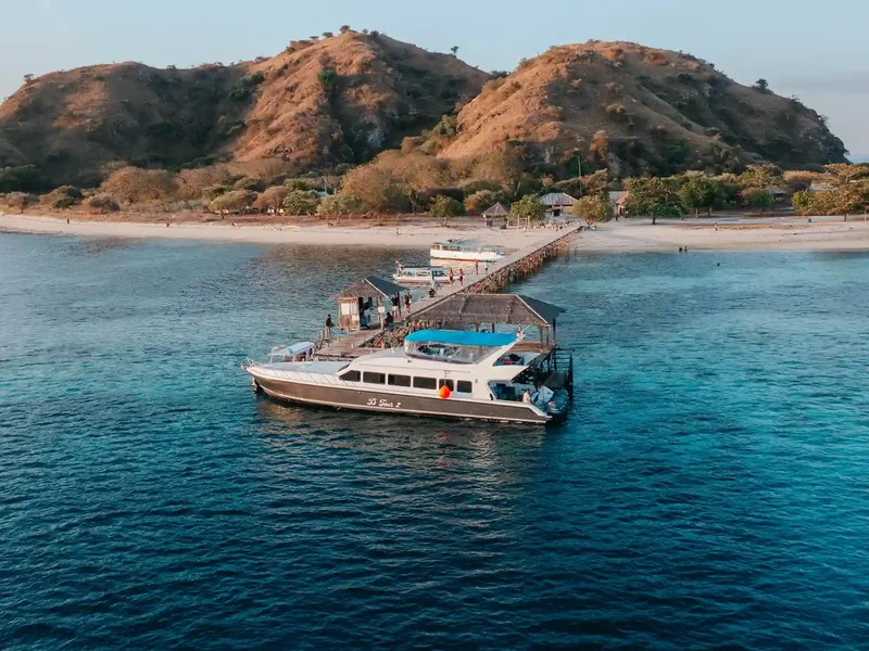
Every boat to Manta Point leaves from here. Your operator handles the park ticket and the SiOra booking before you step aboard.
One to one and a half hours by speedboat, three to four on a wooden boat. Routes curve around islands rather than running straight.
No jetty, no buoy, no landmark. Arriving means the boat slowing to a drift while the guide briefs the group.
If a listing quotes "two to three hours to Manta Point", it is describing a route with stops in it — Padar or Pink Beach first — not the crossing itself.
Each way
Stops per day
In rough sea
Suits
Deck space
Both reach the same water. The choice is about how much of your day you want to spend getting there, and how you would rather spend the crossing.
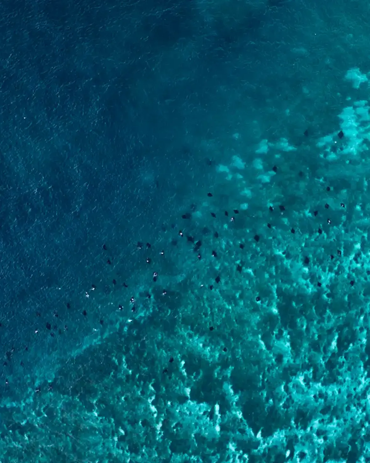
There is no jetty at Manta Point, no mooring buoy network, and no landmark above water. It is a submerged plateau, and crews position the boat over the working area from local knowledge and the tide.
That makes it unlike an island stop such as Kelor or Padar, where a boat ties up near a fixed shoreline. Here, the only thing on the surface that marks the spot is other boats doing exactly the same thing.
It is also why the park describes the area by name and zone rather than publishing one citable coordinate. It is managed as a use-zone, not a pinpoint attraction.
Same sailing radius
Manta Point sits in the middle of the park’s boat-accessible area. That central position is exactly why a single day can hold it plus two or three other stops.
A crescent sandbar minutes away. Many boats snorkel the manta site and walk the sand inside the same hour, with no separate transit.
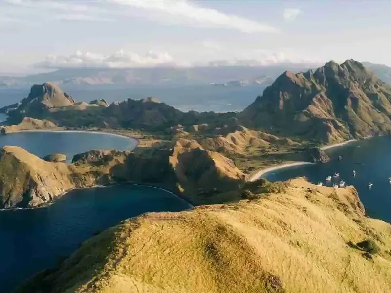
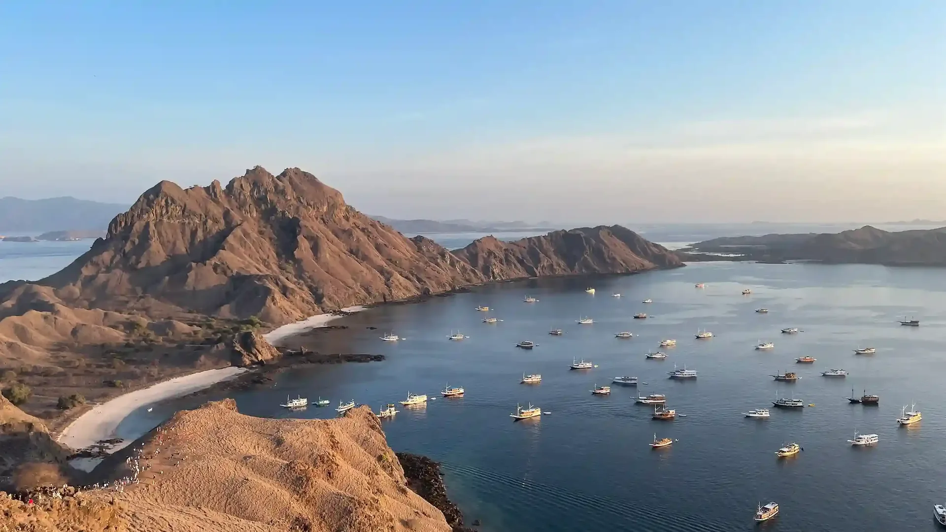
The sunrise viewpoint hike, most often paired with Manta Point on the same day-trip circuit.
The ranger-guided dragon trek. A separate boat leg, but a short one next to the crossing from Labuan Bajo.
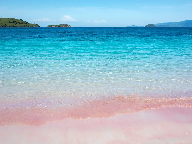
A short stop for the coral-fragment sand, close to the same general route.
The site itself: an open-water plateau, how the cleaning station works, and the depth canon.
Read more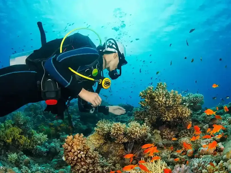
What else works the plateau — and what is reported but rarely seen.
Read more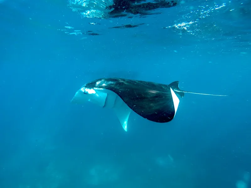
The southern channel site: when it is reachable and who it suits.
Read more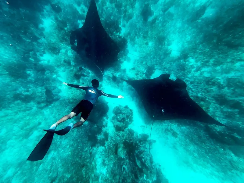
The three-metre rule, where it comes from, and what is actually statutory.
Read more
Light, angles and the settings that survive a drift.
Read more
Every Manta Point topic this desk covers, in one index.
Read moreSend Komodo Luxury your dates and how long you have. They will tell you whether a speedboat day or a slower sailing itinerary fits, and sort the park entry before you arrive.